Al Quoz IND.(I)
Description
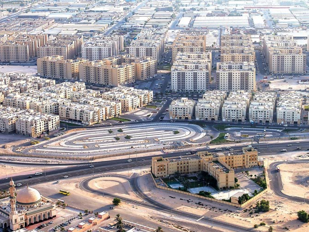
Spread across 27.1 sq. km., Al Quoz is a rectangular stretch of land located between Sheikh Zayed Road and Al Khail Road in Dubai. The mixed-use development is divided into residential and commercial sectors each having four sub-communities. The commercial sector is known as the Al Quoz Industrial Area, which forms the southern part of the community. Al Quoz was majorly known for its industrial development. The area is one of the oldest manufacturing hubs in Dubai housing factories and auto shops. Al Quoz Industrial Areas 1, 2, 3 and 4 are being developed by Dubai Municipality as a mass accommodation and an industrial district servicing the projects like Jebel Ali and Dubai Marina.
District Details
- Name: Al Quoz IND.(I)
- City: Dubai
- Country: United Arab Emirates
- Numeric ID: 55
- Behomes ID: 1681904238647x617158861494393500
- Coordinate Points: 5
District Center
{
"lat": 25.14188509628489,
"lng": 55.228627120538754
}
District Coordinates
[
{
"lat": 25.1479457,
"lng": 55.2467895
},
{
"lat": 25.1589391,
"lng": 55.2304173
},
{
"lat": 25.1396709,
"lng": 55.2182722
},
{
"lat": 25.1301911,
"lng": 55.2324986
},
{
"lat": 25.1479457,
"lng": 55.2467895
}
]
District Map
Map visualization will be implemented in the next phase