Al Manara
Description
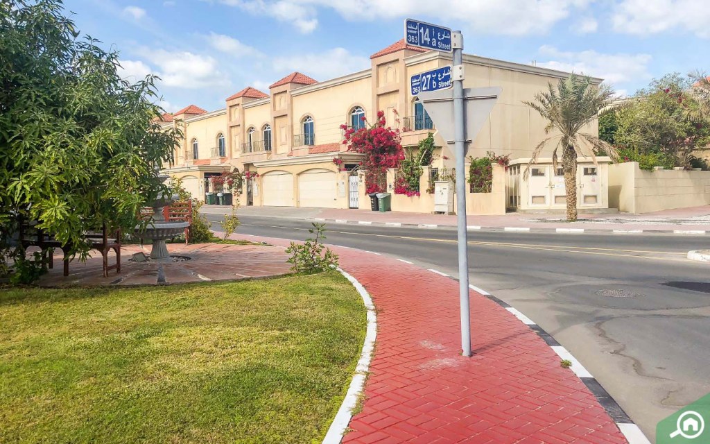
Al Manara, an Arabic word which means “the beacon”, is a sophisticatedly built residential community in western Dubai. Al Manara has a prime location, its neighbours include Al Safa to its east, Umm Suqeim to its north and Umm Al Sheif to its west. The locality also runs along the massive Sheikh Zayed Road (E11) highway which connects to the leading leisure and commercial hubs of Dubai. Al Manara is a developing community, and it offers various residential and commercial villas for rent and sale. The posh locality is not more than 13 minutes away from Jumeirah Beach. In terms of property, the area does not have any apartments or townhouses and is generally favoured by families.
District Details
- Name: Al Manara
- City: Dubai
- Country: United Arab Emirates
- Numeric ID: 58
- Behomes ID: 1681904813041x114347745548225580
- Coordinate Points: 5
District Center
{
"lat": 25.14203645130646,
"lng": 55.21036511901856
}
District Coordinates
[
{
"lat": 25.1340958,
"lng": 55.2143884
},
{
"lat": 25.149383,
"lng": 55.2236366
},
{
"lat": 25.1543942,
"lng": 55.2160621
},
{
"lat": 25.1402148,
"lng": 55.2048612
},
{
"lat": 25.1340958,
"lng": 55.2143884
}
]
District Map
Map visualization will be implemented in the next phase